|
|
Global Positioning System
|
| Linking navigation with cartography | |
|
GPS has had my interest from the early beginning. Both in my work and as a hobby I have played around with GPS units and tried to link them to computers in various ways and for various purposes. Find here the bits and pieces that could be useful for others too. If you're still looking for the older GEM programs, please click here. |
|
|
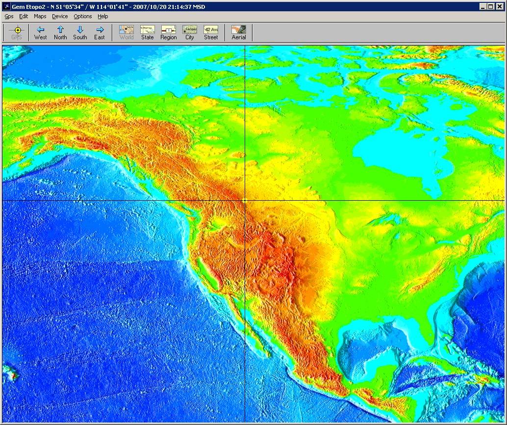
GPS for EarthMate . . . and others
In the end I probably had nine or ten different versions in my little Gem family (you can find the old stuff here), maybe not all of them published on the site, but still. Which became a little nightmare. Time for some restructuring. It took some time to rewrite a lot of the code, but GemGlobal is the new offspring that integrates three of the previous programs. From one single window, you can now switch between the maps of MapQuest, Google, Microsoft and I've added the elevation maps of Etopo-2. Check it out!! |
|
|
Gem for Windows Mobile
GemMobile will become the successor of PocketGem. Lots has changed since that early incarnation of moving maps on a mobile device, like all those smart phones with built-in GPS devices. The new program makes use of those, but also works with BlueTooth connected GPS units. Windows Mobile 5 is the new platform for all of this. With the support of GPRS by many devices, it is not necessary anymore to manually copy maps to the device, the application can download them from the Internet. Since recent, I'm using an HTC Artimis phone (labeled by some telcos as a Compact III). And besides being a cellphone, it has quickly become my preferred GPS device. Very portable, good GPS reception, thanks to my own software good maps on the 240x360 display, I can log all tracking data on a memory card, what do you want more. Because I'm still working on the final touches of GemMobile, you have to wait a little longer. But read on, GemLocal will help you out for the inbetween period. |
|
|
Gem Mobile for Virtual Earth and Google Maps
As an "ad interim" for the planned GemMobile, I did a quick hack to get Gem running on my new HTC Mobile III, which is a Windows Mobile 5 phone. The easiest way to get that working was to create a Pocket PC 2003 program. The result is a GEM program that will use either Microsoft (Virtual Earth) or Google maps. It runs on many handhelds, either for (the real) PPC2003, but it also works fine on Windows Mobile 5 (WM5) based devices. You will however have the older PPC type of GUI with the menubar at the bottom. |
|
|
Gem for Canada
For those of us living in Canada, Toporama II provides topographic maps with a scale up to 1:20000. These maps are especially useful when travelling beyond the normal highways. The level of detail provided is great to prepare hiking trips, but I don't expect people to hit the woods carying their notebook PCs. |
|
|